This recipe is orginally from :http://www.geek-workshop.com/thread-8835-1-1.html
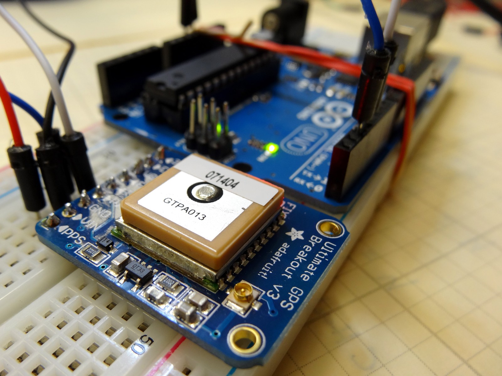
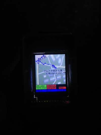
This is homemade Arduino based GPS map navigation system, mainly used to locate and record the path at run time.
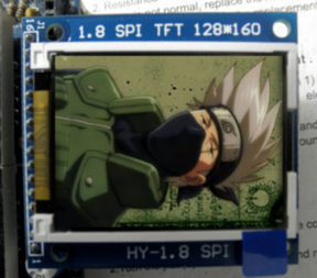
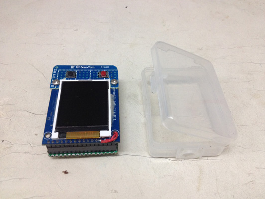
Use a 1.8-inch TFT screen, 128*160 resolution, SPI interface
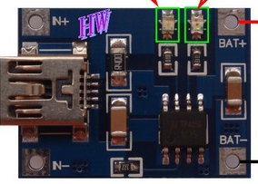
5V lithium batteries, voltage 3.3V.
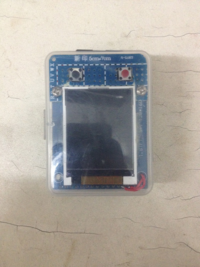
Black button up on the left side, the red button on the right side to narrow, long press the red button (>=2seconds) recording a track, press again to stop recording.

Demo
SD file
Map data in the SD card, the directory structure is as follows:
 TRACK file track file
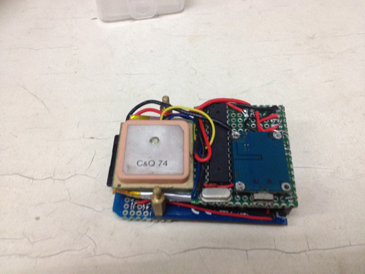
Serial port speed to set consistent with the GPS module, wiring is as follows:
<span class="">//TFT SDA -> UNO 11 </span><span class="">//TFT SCK -> UNO 13 </span><span class="">#define TFT_CS 10 // Chip select line for TFT display </span><span class="">#define TFT_A0 9 // Data/command line for TFT </span><span class="">#define TFT_RST 8 // Reset line for TFT (or connect to +5V) </span><span class="">#define TFT_LED A0 </span><span class="">#define SD_CS 4 // Chip select line for SD card </span><span class="">//SD MISO -> UNO 12 </span><span class="">//SD SCK -> UNO 13 </span><span class="">//SD MOSI -> UNO 11</span><span class=""> </span><span class="">//GPS tx - UNO rx </span><span class="">//GPS rx - UNO tx</span><span class=""> </span><span class="">#define BTNZOOMIN 2 </span><span class="">#define BTNZOOMOUT 3</span>
Toggle switch controls battery charging and instrument switch, battery pin pad and on both sides of the power supply.
Click “displayed map” appeared map window, map may loaded more slow, through mouse left drag pulled for translation, mouse wheel for Zoom narrowed, browse to interested in of regional, click “select regional” and in map in the click determine polygon of vertex, double-click left draws end, through draws polygon determine download regional, close map window, other parameter default, click determine and set download path for download. Download the path MAP replace the SD card folder MAP in the appropriate directory folder.
Leave a Reply
You must be logged in to post a comment.